
{{product.productLabel}} {{product.model}}
{{#if product.featureValues}}{{product.productPrice.formattedPrice}} {{#if product.productPrice.priceType === "PRICE_RANGE" }} - {{product.productPrice.formattedPriceMax}} {{/if}}
{{#each product.specData:i}}
{{name}}: {{value}}
{{#i!=(product.specData.length-1)}}
{{/end}}
{{/each}}
{{{product.idpText}}}

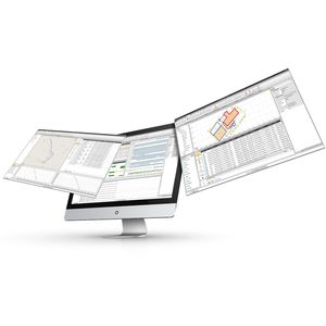
... comprehensive industry-standard data import and export formats allow LandStar 8 to be seamlessly integrated into existing software environments and ensure instant productivity.
CHC Geomatics Office Software (CGO) 2.0 is a powerful office software solution designed for engineers as an integrated platform to make a link between field and office workflow from multiple sensors and ...

... Laser Scanner Generate 3D mass data by synchronizing the flight log and images collected byUAV. MAVinci / Falcon 8 and any UAV which is compliant to Geo tagged photos aresupported. Mobile Module Generate 3D mass ...
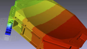
... including MSCADS and IPOPT. The fatigue capability in MSC Nastran has been developed jointly by nCode International Ltd. and MSC Software.
Economical PPK for UAV Qinertia UAV is an economical solution designed for UAV-based surveying and photogrammetry applications. Qinertia accepts DJI P4 RTK native format and Matrice ...
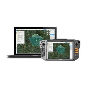
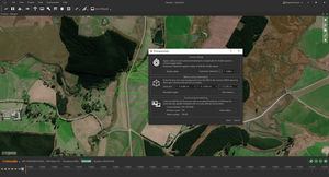
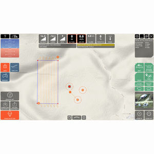
Comprehensive cloud-based drone mapping software for flight planning, data collection, processing, and analysis Getting the right drone mapping software is essential. ...

Automate drone flight missions, live video feed, AI-based detection, and data processing Specifically designed for JOUA UAV products, Eagle Map is mainly used for power line inspection, emergency response, ...
... core processing and utilities as Inertial Explorer along with simplified functions and workflows that have been tailored for UAV markets and small project areas. Data can be post-processed efficiently without compromising ...
... planning software provides superior situational awareness and safety of UAS operations through a user-friendly GUI and intuitive control. With the C-ASTRAL C³P (Command, Communications, Control and ...

... quickly plan and execute missions that produce georeferenced images that can be easily fed into a number of map-stitching software packages/solutions.
Birdseyeview
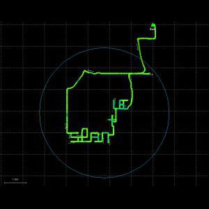
Standalone application that allows to display, edit and analyze clouds of millions of points captured by fixed or mobile scanners, LiDAR technology or generated by photogrammetry applications. Point clouds can be imported in the most ...

... supported data formats, mathematical functions and visualisations • Optimized for generic research jBEAM Lab data analysis software comes in three different versions: • Starter for entry level usage • Professional ...
Please specify:
Help us improve:
remaining