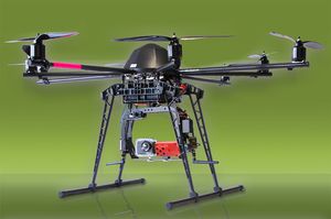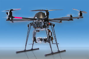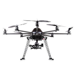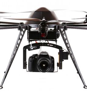
Octorotor UAV 6sGEOaerial photographymonitoring


Add to favorites
Compare this product
Characteristics
- Type
- octorotor
- Applications
- aerial photography, monitoring
- Endurance
45 min
Description
Achieving the necessary amount of points with conventional methods of geodesy and object surveying is only possible with enormous efforts of personell expenses and cost. Furthermore there are also risks to personnel and material.
Our 6sGEO takes the relevant data in mid-air high above the ground, which makes it possible to effortlessly survey even hard to reach objects. Our solution guarantees an extremely high ground resolution in the range of just few millimeters per pixel.
Features of the 6sGEO
Flying-time of up to 45 minutes with just one charge (which is equivalent to a distance of around 3 - 4 kilometers)
6sGEO withstands strong winds of up to 6 beaufort
extremely high ground resolution in the range of just millimeters per pixel
robust frame construction with a CFRP jacketing while at the same time ensuring maximum weight efficiency
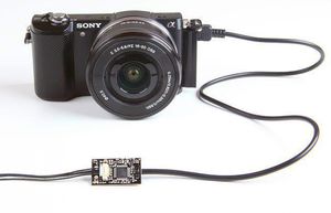
supports a diversity of camera solutions
Safety features: Redundance, Carefree 2.0, Failsafe, (Dynamic) Position Hold, automatic take-off, landing >>> more features
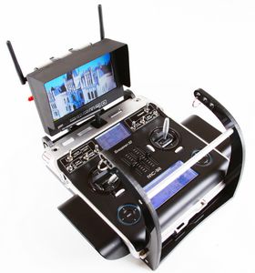
MC 32 HoTT ground station adapted to MikroKopter technology with audio-visual integration of all the necessary telemetry information
ground coverage of 100.000m² up to 200.000m² in just one flight
Simple and intuitive handling with high flexibility
VIDEO
Catalogs
No catalogs are available for this product.
See all of Mikrokopter‘s catalogsRelated Searches
- Rotary wing UAV
- Inspection drone
- Monitoring drone
- Quadcopter UAV
- Drone for industrial applications
- Lightweight drone
- Carbon fiber UAV
- Gyro-stabilized turret
- Observation drone
- Drone for agricultural applications
- 2-axis gyro-stabilized turret
- Drone with thermal camera
- Waterproof UAV
- UAV gyro-stabilized turret
- Ground station
- UAV ground station
- Hexacopter UAV
- Octorotor UAV
- Camera controller
*Prices are pre-tax. They exclude delivery charges and customs duties and do not include additional charges for installation or activation options. Prices are indicative only and may vary by country, with changes to the cost of raw materials and exchange rates.


