- Robotics - Automation - Industrial IT >
- Industrial Software >
- Land surveying software
Land surveying software
{{product.productLabel}} {{product.model}}
{{#if product.featureValues}}{{product.productPrice.formattedPrice}} {{#if product.productPrice.priceType === "PRICE_RANGE" }} - {{product.productPrice.formattedPriceMax}} {{/if}}
{{#each product.specData:i}}
{{name}}: {{value}}
{{#i!=(product.specData.length-1)}}
{{/end}}
{{/each}}
{{{product.idpText}}}

... designed to help efficiently complete high-precision surveying and mapping projects. Landstar 8 is versatile and integrates all surveying features for different applications, including construction surveying, ...

... straightforward workflows and high functionality. X-PAD Ultimate is the only software that provides software maintenance (bug fixing) free of charge. X-PAD Ultimate Survey Are you a surveying ...

Finish roading jobs fast The Trimble® Access™ Roads software includes powerful tools to define, survey, and report your road. Supported formats: • - RXL • - LandXML • - GENIO • - 12d a Key in a road définition including ...
Trimble

Carlson Survey is designed to complement land surveying operations and provides a variety of survey features to process data from surface modeling to Least Squares Network Adjustment. Users work seamlessly ...
Carlson Software

... designed for assisting professionals to work efficiently for all types of land surveying and road engineering projects in the field. Combining with the international mainstream of surveying ...
eSurvey GNSS

STONEX FieldGenius is he most powerful, flexible, and productive data collection software in the land surveying market. Description What sets STONEX FieldGenius apart from the competition? ...
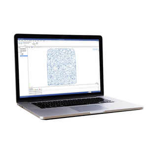
Hi-Target Business Center HBC, the all-in-one post-processing desktop software, supports processing multi-sourced data from all kinds of surveying equipment, including RTK, total station, UAV, GIS, 3D ...
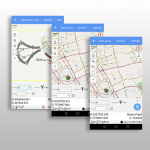
... provides a convenient way to import/export surveying data files, supporting data formats: TXT, CSV, SHP and AutoCAD DXF. You can free download from Google Play Store. Survey Master is a professional software ...

... Advanced AR stakeout function will help users improve the efficiency and accuracy of data staking out without focusing on the software interface in real-time. With the intelligent voice prompts, users can accurately determine ...
Your suggestions for improvement:
Receive updates on this section every two weeks.
Please refer to our Privacy Policy for details on how DirectIndustry processes your personal data.
- Brand list
- Manufacturer account
- Buyer account
- Our services
- Newsletter subscription
- About VirtualExpo Group


Please specify:
Help us improve:
remaining