
{{product.productLabel}} {{product.model}}
{{#if product.featureValues}}{{product.productPrice.formattedPrice}} {{#if product.productPrice.priceType === "PRICE_RANGE" }} - {{product.productPrice.formattedPriceMax}} {{/if}}
{{#each product.specData:i}}
{{name}}: {{value}}
{{#i!=(product.specData.length-1)}}
{{/end}}
{{/each}}
{{{product.idpText}}}

... Finish roading jobs fast. Trimble® Access™ Roads software defines, stakes and reports on roads with a simple, easy-to-use graphical interface specific to roading operations. Integrated Workflows Trimble Access Roads offers integrated ...
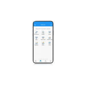
... Auto survey, Static and PPK modes; edit and stake points/lines. Also this App provides a convenient way to import/export surveying data files, supporting data formats: TXT, CSV, SHP and AutoCAD DXF. Compatible with most of Android ...

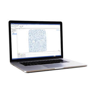
... Carlson Survey is designed to complement land surveying operations and provides a variety of survey features to process data from surface modeling to Least Squares Network Adjustment. Users work seamlessly between the ...
Carlson Software

... designed to help efficiently complete high-precision surveying and mapping projects. Landstar 8 is versatile and integrates all surveying features for different applications, including construction surveying, ...
... HBC, the all-in-one post-processing desktop software, supports processing multi-sourced data from all kinds of surveying equipment, including RTK, total station, UAV, GIS, 3D laser and levels. This one-stop service simplifies ...
... Advanced AR stakeout function will help users improve the efficiency and accuracy of data staking out without focusing on the software interface in real-time. With the intelligent voice prompts, users can accurately determine the direction ...
the best suppliers