
{{product.productLabel}} {{product.model}}
{{#if product.featureValues}}{{product.productPrice.formattedPrice}} {{#if product.productPrice.priceType === "PRICE_RANGE" }} - {{product.productPrice.formattedPriceMax}} {{/if}}
{{#each product.specData:i}}
{{name}}: {{value}}
{{#i!=(product.specData.length-1)}}
{{/end}}
{{/each}}
{{{product.idpText}}}
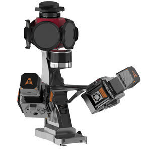
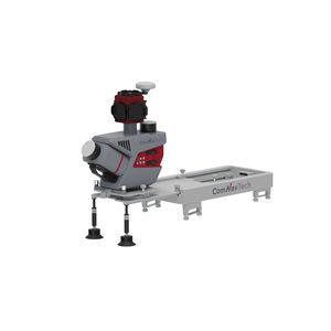
... MMS is a high-precision mobile mapping system designed for vehicle-mounted applications. Its advanced LiDAR and AI-powered algorithms capture accurate 3D spatial data while streamlining field-to-office workflows. The ...
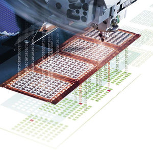
... That’s where Substrate Mapping E142 comes into play. E142 applies a virtual map like representation of the physical world to a lot of common substrate such as e.g. wafers, strips and trays. Besi Switzerland did implement Strip Mapping ...
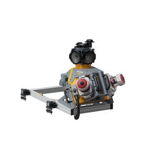
... Trusted, field-proven mobile mapping Capture immersive scans and images at highway speeds. Benefits and performance Leverage your large-scale mobile mapping projects with the Trimble MX90, which delivers unmatched ...
Trimble
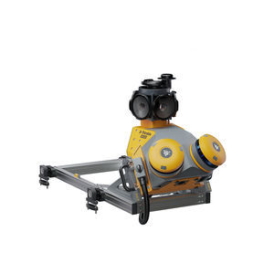
... Each project is a journey. Enjoy the ride. The Trimble® MX60 mobile mapping system delivers powerful mobile scanning and imaging for asset management. Take control of your data capture and choose from ...
Trimble

... The Trimble® MX50 mobile mapping system delivers accurate point clouds with immersive imagery for easy asset management, mapping and maintenance. MX50 field-to-finish mobile mapping Slash ...
Trimble
... ML300 is a mobile laser scanning (MLS) system designed for efficient 3D mapping of roads and surrounding environments. It combines two LiDAR sensors (one tilted at 30° and one horizontal) with a Ladybug5+ panoramic camera ...
the best suppliers