


{{product.productLabel}} {{product.model}}
{{#if product.featureValues}}{{product.productPrice.formattedPrice}} {{#if product.productPrice.priceType === "PRICE_RANGE" }} - {{product.productPrice.formattedPriceMax}} {{/if}}
{{#each product.specData:i}}
{{name}}: {{value}}
{{#i!=(product.specData.length-1)}}
{{/end}}
{{/each}}
{{{product.idpText}}}
{{product.productLabel}} {{product.model}}
{{#if product.featureValues}}{{product.productPrice.formattedPrice}} {{#if product.productPrice.priceType === "PRICE_RANGE" }} - {{product.productPrice.formattedPriceMax}} {{/if}}
{{#each product.specData:i}}
{{name}}: {{value}}
{{#i!=(product.specData.length-1)}}
{{/end}}
{{/each}}
{{{product.idpText}}}


... comprehensive industry-standard data import and export formats allow LandStar 8 to be seamlessly integrated into existing software environments and ensure instant productivity. ...
CHC Navigation | CHCNAV
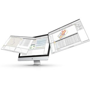
... CHC Geomatics Office Software (CGO) 2.0 is a powerful office software solution designed for engineers as an integrated platform to make a link between field and office workflow from multiple sensors and generate rich ...
CHC Navigation | CHCNAV

... CoViewer is a free, lightweight desktop 3DGS viewer for smooth exploration, review, and presentation of 3D Gaussian Splatting models. Optimized for handheld scanning data and complex indoor environments, it combines responsive navigation, high-quality ...
CHC Navigation | CHCNAV
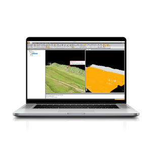
... is a powerful software solution tailored to post-processing massive point cloud data. As a fully integrated platform, CoProcess seamlessly processes point cloud data captured in the field into various ...
CHC Navigation | CHCNAV
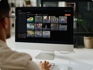
... CoCloud is a cloud-based 3D processing and visualization platform that transforms captured spatial data into 3D deliverables. Users can upload field data and automatically generate point clouds, orthophotos, 3D models, ...
CHC Navigation | CHCNAV
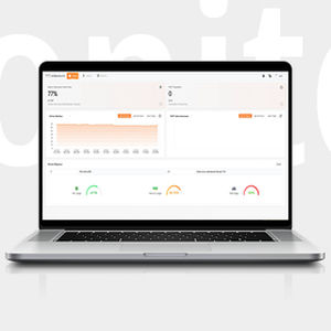
... CHCNAV HCMonitor is a software platform designed to capture precise position data and track dynamic changes in real time. It integrates GNSS data with MEMS sensors, including tiltmeters and accelerometers. The software ...
CHC Navigation | CHCNAV