
{{product.productLabel}} {{product.model}}
{{#if product.featureValues}}{{product.productPrice.formattedPrice}} {{#if product.productPrice.priceType === "PRICE_RANGE" }} - {{product.productPrice.formattedPriceMax}} {{/if}}
{{#each product.specData:i}}
{{name}}: {{value}}
{{#i!=(product.specData.length-1)}}
{{/end}}
{{/each}}
{{{product.idpText}}}

... the creation of mesh models by generating high-quality point clouds. Powered by a 45 MP orthographic internal camera, the system provides high-resolution image mapping textures for efficient 3D model reconstruction with realistic point ...
... to ~40% improvement)
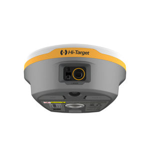
Cameras and Visual Functions
- Front camera for image-assisted measurement and AR stakeout
- Bottom camera for AR stakeout
- Laser targeting displayed on

... R26 Surveying System Rover+Base R26 integrated Beidou/GNSS receiver is a built-in large-capacity battery, large-capacity memory card, integrated multi-functional high-precision inertial navigation ...
SMAJAYU(SHENZHEN) CO.,LTD

... full-frequency antenna, and multiple frequency points in the whole system High-precision positioning and orientation boards, Bluetooth, inertial navigation, radio and other modules. GNSS Surveying System: √Built-in ...
SMAJAYU(SHENZHEN) CO.,LTD
the best suppliers