Exhibit with us
{{>currencyLabel}}
Back
{{>currenciesTemplate}}
English
Back
Français
Español
Italiano
Deutsch
中文
日本語
português
Русский
Your most recent searches
Delete
Frequent searches
Suggestions
Other sections
Search {0} in Catalogues
Search {0} in Projects
Search {0} in News & Trends
Brands containing {0}
{{>productsMenu}}
Products
Catalogs
RFQ
{{>trendsMenu}}
News & Trends
E-MAGAZINE
Products
>
TOPCON
Products
Products
Catalogs
News & Trends
Exhibitions
All TOPCON products
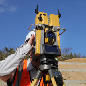
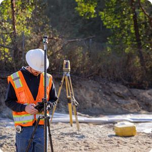
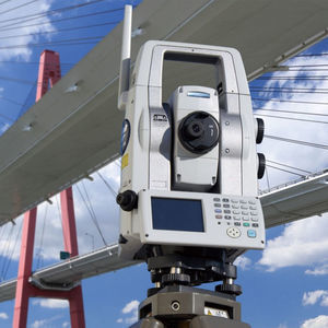
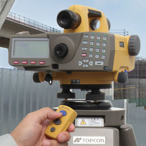
Total Station
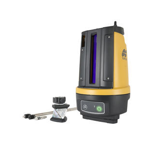
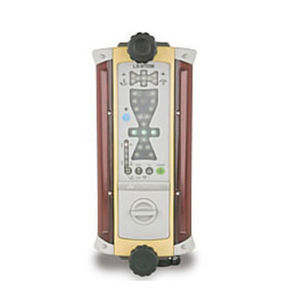
automatic laser level
LN-60
battery-powered
IP65
automatic laser level
LN-150
for control
digital
battery-powered
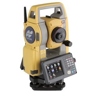
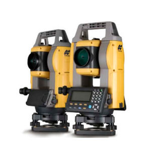
total station with prism
GT series
motor-driven
portable
robotic
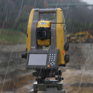
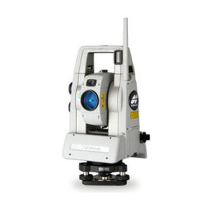
reflectorless total station
OS-20 series
robotic
waterproof
Bluetooth
reflectorless total station
GM-1 series
Bluetooth
monitoring
reflectorless total station
GM-5 series
waterproof
total station with prism
MS series
robotic
monitoring
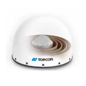
3D scanner
GTL-1200
measurement
laser
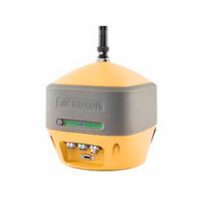
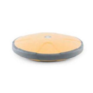
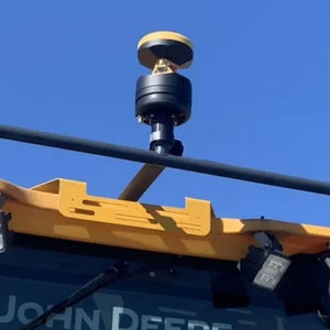
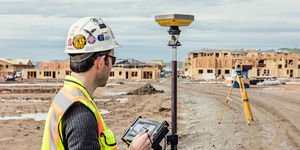
GNSS
GPS receiver
HiPer HR
satellite
tracking
internet
UHF receiver
HiPer VR
GPS
satellite
tracking
wireless receiver
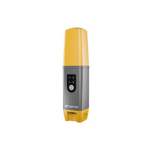
HiPer CR
radio
RTK
Bluetooth
GNSS receiver
HiPer SR
RTK
for construction site
tracking
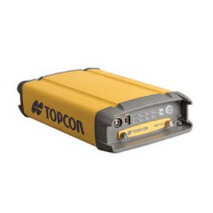
GPS receiver
NET-G5
GLONASS
GALILEO
QZSS
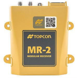
RTK receiver
MR-2
GNSS
tracking
Ethernet
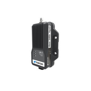
UHF radio module
SRL-35
GNSS receiver
UR-1
UHF
for construction site
external
GNSS antenna
CR-G5
choke ring
rugged
tracking
GNSS antenna
PN-A5
dipole
tracking
GNSS antenna
PG-F1
external
rugged
compact
GNSS antenna
G5-A1
external
tracking
3D Scanner
3D scanner
GLS-2200
measurement
inspection
laser
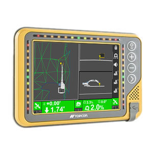
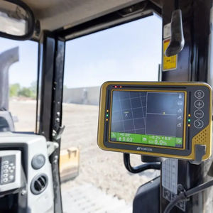
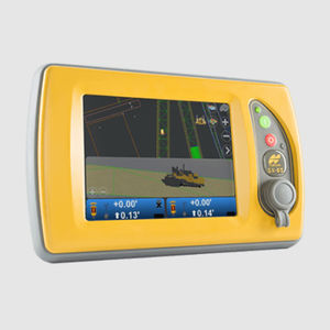
Machine Control
grade control system
MC-Max
access
for excavators
positioning
grade control system
angle
for excavators
positioning
measurement control system
MC-Mobile
grade
for construction equipment
measurement
level control system
MC-Max Dozer
grade
process
access
reflectorless total station
robotic
level control system
MC-Max Grader
grade
grading
laser
multi-axis positioning system
laser
vertical
horizontal
grade control system
P-32
thickness
surface
digital
level control system
3D-MC Asphalt
grade
thickness
digital
grade control system
2D Milling Control
surface
level control system
3D-MC Milling
thickness
process
3D
quality control system
RD-MC
thickness
process
quality control system
C-53
access
surface
analysis
Monitoring System
total station with prism
MS series
automatic
robotic
monitoring
Software
data acquisition software
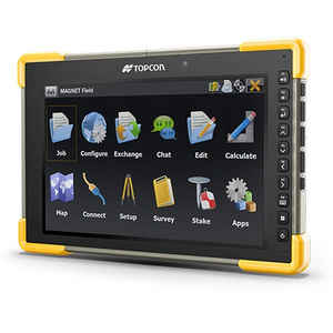
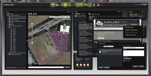
MAGNET Field
design
development
field instrument configuration
field instrument configuration software
Pocket 3D
management
estimate
construction
modeling software
MAGNET Office
mapping
data analysis
construction
measurement software
Collage Office
mapping
scanner
for UAVs
management software
MAGNET Relay
mapping
construction
surveying
interface software
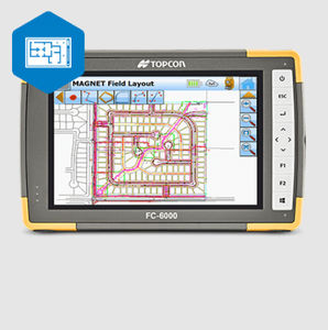
MAGNET Field Layout
creation
verification
connectivity
Lasers
3-axis scanner
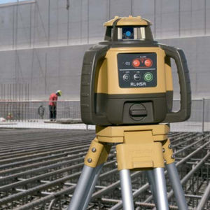
RL-H5A
measurement
laser
construction equipment positioning laser receiver
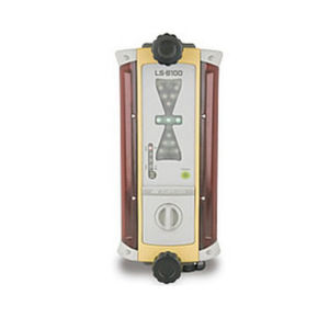
LS-B100
construction equipment positioning laser receiver
LS-B110W
construction equipment positioning laser receiver
LS-B110
construction equipment positioning laser receiver
LS-B10
for rotary lasers
Levels/Theodolites
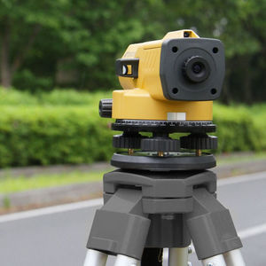
optical level
DL-501
digital
magnetic
adjustable
distance measurement system
DL-502
position
magnetic
horizontal
optical level
AT-B series
magnetic
horizontal
inspection
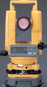
laser theodolite
DT-20 series
digital
Automation software
Management software
Analysis software
Measuring system
Windows software
CAD software
Cloud software
Design software
3D software
Interface software
Measurement software
Development software
Creation software
2D software
Modeling software
3D scanner
Data acquisition software
Radio receiver
GNSS antenna
Measurement scanner
see more
Laser scanner
Distance measuring system
Data analysis software
Topcon Technohouse GNSS receiver
Inspection scanner
Compact antenna
Rugged antenna
Compact receiver
External antenna
Rugged receiver
Digital control system
Automatic control system
Serial receiver
Construction software
Multi-channel receiver
Wireless receiver
High-resolution scanner
Other applications control system
High-speed scanner
RTK receiver
Verification software
Process control system
Tracking antenna
USB receiver
Instrument software
Mechanical software
Web browser software
Connectivity software
Topcon Technohouse total station
Laser level
Office software
Mapping software
Position measuring system
GPS receiver
Bluetooth receiver
Horizontal level
Reflectorless total station
Dipole antenna
Satellite receiver
Tracking receiver
Construction site receiver
Radio module
IP67 receiver
Quality control system
GLONASS receiver
Magnetic level
Multi-axis positioning system
Ethernet receiver
Building software
Automatic total station
UHF receiver
Temperature regulator control system
Temperature control system
GALILEO receiver
Surveying software
BIM software
Level control system
Scanner software
Digital level
External receiver
Vertical positioning system
Measurement control system
Horizontal positioning system
Total station with prism
Battery-powered laser level
Horizontal measuring system
Modular receiver
Optical level
Motor control system
Automatic level
Magnetic measuring system
Bluetooth total station
Robotic total station
Internet receiver
Topcon Technohouse 3D control system
Waterproof total station
Construction equipment control system
Monitoring total station
QZSS receiver
High-performance total station
Manual control system
Reference station receiver
Estimate software
Laser positioning system
Surface control system
Analysis control system
Laser receiver
915 MHz receiver
Adjustable level
Positioning control system
Automatic laser level
Topcon Technohouse grade control system
Choke ring antenna
IP65 laser level
Theodolite
Laser control system
Digital theodolite
Excavator control system
Rotary laser laser receiver
UHF radio module
UAV software
High-precision total station
Custom-made control system
Motorized total station
Grading control system
Thickness control system
Laser theodolite
Satellite positioning system
Plumbing software
Digital laser level
Control laser level
Angle control system
Compare
Remove all
Compare up to 10 products